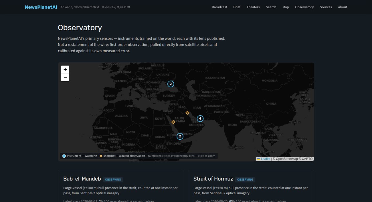
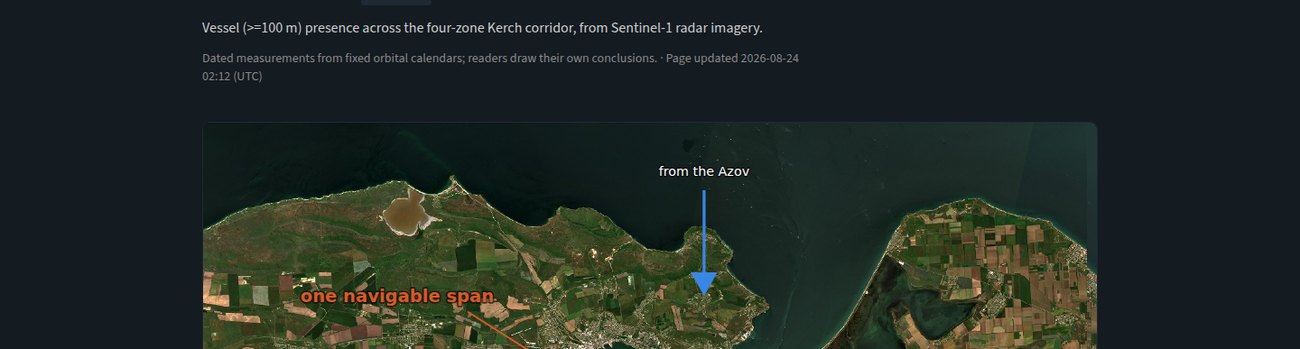
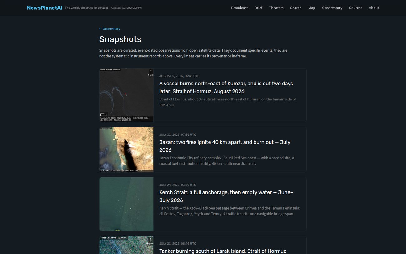
Turns open satellite imagery into defensible, dated observations of vessel presence at strategic waterways, Hormuz, Bab-el-Mandeb, Kerch, stating exactly what the instrument saw, what it missed, and what it cannot conclude. First-order observation, not a feed of claims.
Reporting on the world's straits leans on governments, operators, and interested parties. Public numbers quietly measure different things. The Observatory gives an independent physical observation, and states exactly what it saw, what it missed, and what it can't conclude.
The hard part was never detecting bright objects. It was learning when to abstain, so a precise-looking count can't become scientifically weak evidence.
An experimental radar-count track was retired before publication after two blind adjudication attempts failed validity review, leaving no defensible way to distinguish vessel-like returns from bright water texture. The verification system kept plausible-looking but unqualified counts out of production.
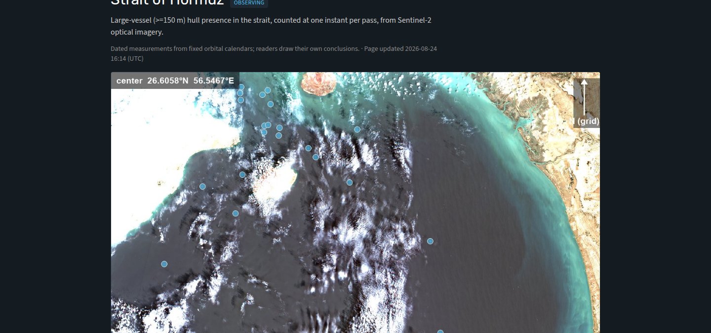
The instrument measures presence at one instant, not traffic, not vessel identity, not what happened between passes. The page says so, plainly.
Detector loss and false-return rates are measured on cluttered passes and printed beside every count. The lens is published.
Adversarial tooling built the pipelines, generated stress tests, and challenged my interpretations at every stage, but none of it counted as evidence. I set the doctrine and retain publication authority.
The Observatory runs on event-driven refreshes and calibration triggers, free and public. If you need auditable research, OSINT, or decision tools where unsupported certainty is a real risk, that's the kind of system I build. Get in touch.